
Ports in Kenya — Mombasa, Nairobi, Nakuru, Eldoret and Kisumu
Summary:Kenya’s ocean trade flows through Mombasa, one of East Africa’s largest ports, and then inland to Nairobi (KENBO), Nakuru (KENUU), Eldoret (KEEDL) and the Lake Victoria port of Kisumu (KEKIS). This page collects berth, depth, climate and distance data for all five from our port records.
Mombasa — the ocean gateway
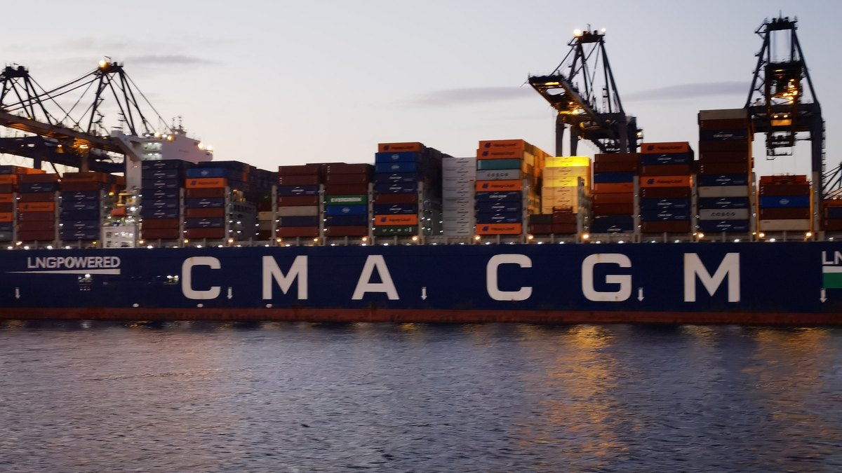
Mombasa stands on Mombasa Island off Kenya’s south-east coast, joined to the mainland by a railway bridge and causeway, facing the Indian Ocean. It is Kenya’s largest port and one of the largest in East Africa, and the region’s industrial and commercial centre, with oil refining, textiles, ship repair, cement and agricultural processing among its main industries. Most foreign trade for Kenya and Uganda moves through it, and it also transships cargo for Rwanda, Tanzania, the eastern Democratic Republic of the Congo and South Sudan.
| Item | Data |
|---|---|
| Main berths | 16, with 2,343 m of quay and a maximum depth of 13.4 m |
| Deep-water berths | 21 berths for vessels of 10,000 dwt and above |
| Draft | 9.45 m and above; navigation around the clock |
| Cargo handling | shore, mobile, gantry, container, grab and tyre-mounted cranes plus ro-ro facilities; container cranes lift up to 40 t |
| Storage | about 92,000 m² of transit sheds, plus cold stores and open yards |
| Climate | tropical savanna; south-east winds; mean temperature about 24 °C; rainfall about 1,200 mm a year; mean tidal range about 1.8 m |
| Distance from Shanghai | 6,981 nm — about 30 days at 10 knots |
Nairobi (KENBO)
- Port code: KENBO
- Coordinates: 1.2920659° S, 36.8219462° E
- Route: East Africa line; inland container depot for the capital region
- Size: 648 km², population about 2.16 million
- Elevation: 1,680 m plateau in the mid-west of the country
- Distance to Mombasa: about 480 km
- Distance from Beijing: 9,213 km, about 4,971 nm
- Time difference: 5 hours behind Beijing (UTC+3)
Nairobi is Kenya’s capital and East Africa’s largest city — a lively, cosmopolitan metropolis shaded by trees and flowers, earning nicknames like the “Paris of East Africa” and the “green city in the sun”. Cargo for Nairobi is railed or trucked from Mombasa, so bookings normally pair Mombasa as discharge port with Nairobi as final destination.
Nakuru (KENUU)
Nakuru, code KENUU on the East Africa line, is Kenya’s fourth-largest city with about 300,000 people and the capital of the Rift Valley region, 160 km north-west of Nairobi on the south-western plateau at the southern foot of Menengai Crater. The town grew from 1900 as a key station on the Mombasa–Uganda Railway and remains a collection and distribution centre for livestock products, coffee and tea, with agricultural processing, wool spinning, tanning and timber industries. Rail lines run to Nairobi, Kisumu and Kitale. Sea freight from Shenzhen or Hong Kong takes roughly 25 days to the gateway before the inland leg; Shanghai to Nakuru is 9,592 km, about 5,960 nm.
Eldoret (KEEDL)
Eldoret, code KEEDL, lies in south-western Kenya at the centre of the fertile Uasin Gishu plateau, 2,100 m above sea level. It is a market and collection centre for wheat, coffee and tea, surrounded by plantations, with blanket weaving, dairy and timber processing industries, and it is a major station on the Mombasa–Uganda Railway and a road hub. Wuhan to Eldoret measures 8,936 km, about 5,553 nm.
Kisumu (KEKIS)
Kisumu, code KEKIS, is a lake port on Lake Victoria 1,131 m (3,711 ft) above sea level. With a 1999 population of 355,024 it is Kenya’s third-largest city and the main city and capital of the Nyanza region in the west of the country. Railways connect it to Nairobi and Mombasa, and lake services link it with the ports of Uganda and Tanzania on Lake Victoria. The city has its own airport. Distance from China is roughly 8,169 km.
Nairobi, Nakuru and Eldoret are inland points: ocean containers discharge at Mombasa and move by rail or road. Kisumu is a Lake Victoria port, reached by rail from Mombasa, not by ocean vessel.
Frequently asked questions
Which port do I use for shipping from China to Nairobi?
Mombasa is the discharge port; Nairobi (KENBO) is the inland destination. Containers move from Mombasa to Nairobi by rail or road, about 480 km, and bookings normally show both ports.
What is the port code for Nairobi, Nakuru, Eldoret and Kisumu?
Nairobi is KENBO, Nakuru is KENUU, Eldoret is KEEDL and Kisumu is KEKIS.
How deep is Mombasa harbour?
The main berths run to a maximum depth of 13.4 m, with 21 deep-water berths taking vessels of 10,000 dwt and above and navigation available around the clock.
How long does shipping from China to Mombasa take?
Shanghai to Mombasa is 6,981 nm. At 10 knots the voyage is about 30 days; faster container services quote shorter times, so confirm the current schedule when booking.
Does Kisumu handle ocean cargo?
No. Kisumu is a Lake Victoria lake port. Cargo reaches it by rail from Mombasa, and lake vessels then serve Uganda and Tanzania.
Ship from China to Kenya with Goodhope Freight
Goodhope Logistics (China) Limited is a China-based international freight forwarder and NVOCC (license GD20230925153335), moving FCL, LCL, air and door-to-door cargo from every major Chinese port and city to Kenya since 2012. Send the commodity, gross weight, volume, packing list and destination port, and we will confirm the routing, schedule and all-in rate: sales007@goodhopefreight.com or WhatsApp / WeChat +86 18938691638.